01 · The difference
Measured, verified, and issued are three different things.
Plenty of people can point a satellite at the ocean and read off a number. That is measuring. It is the easy part. The harder part is verifying: going into the water, correcting the number against what actually lives there, and having a government authorize the work on its own waters. That is where we are here, and it is real. A government signature gives us permission and jurisdiction; it does not by itself prove the carbon. The last steps, independent validation and registry issuance, are the ones we are working toward now. We name each step honestly, so that when we say a number is verified, the word still means something.
WHERE British Virgin Islands · a real place, not a demo | WHO WE WORK WITH directly with the government that owns these waters, under a relationship that is in place
02 · The work
One patch of ocean. Carried honestly.
We take a single patch of ocean and carry everything about it in one place: what it looks like from above, how we read it, where every number came from, and how sure we are. That same picture holds up in the dashboard, in the report, and in the raw feed. Nothing changes when you look closer, and where a number is still modeled rather than verified, it says so. This is the BVI.
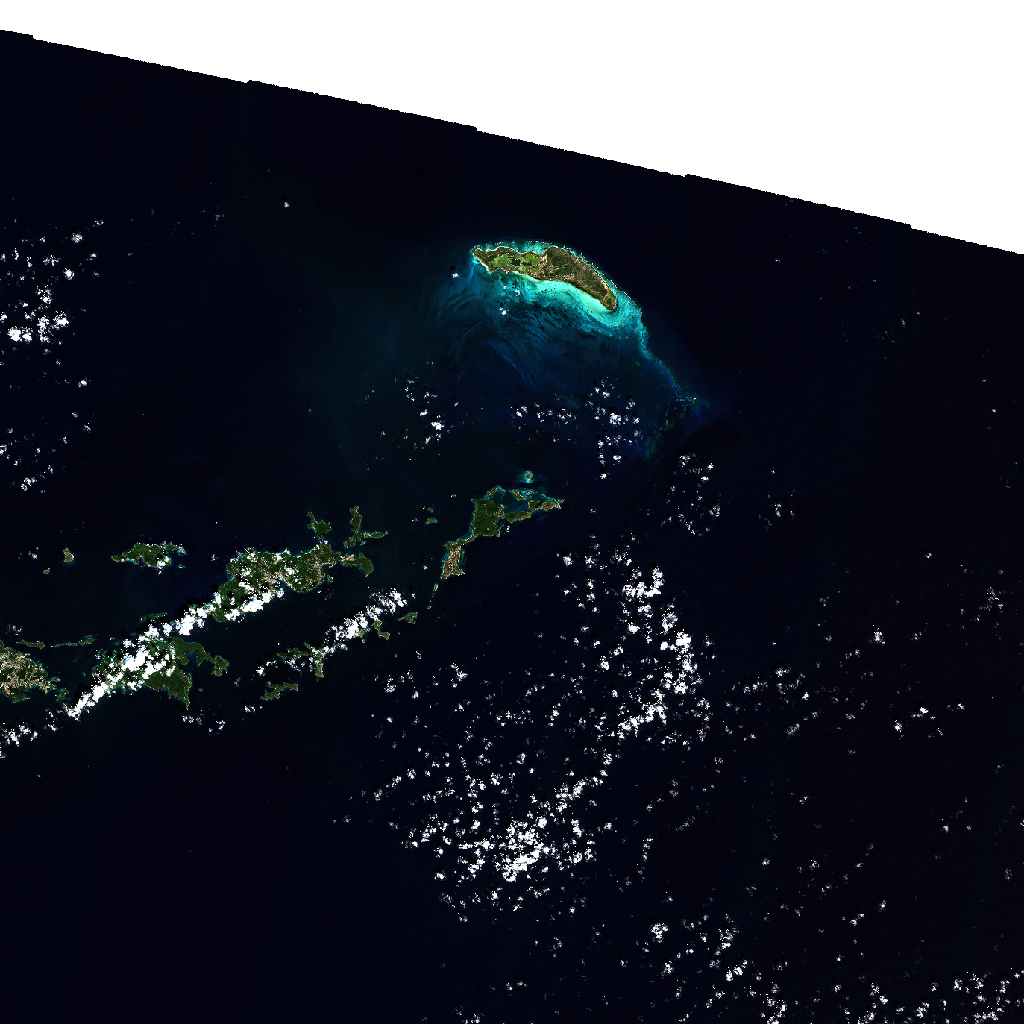
THE PLACE British Virgin Islands · inside the nation's own waters | STATE verified monitoring and sovereign-authorized; on a path to independent validation and issuance, not issued yet
03 · The estate
We have mapped the seagrass of a Caribbean sovereign pilot, coast to coast.
This is not one lucky pixel. We have already mapped this nation's seagrass estate and we monitor its protected waters, from space and in the water, and behind it all sits a long record that goes back decades. This is a place we know well and keep a live eye on.
| Layer | What it is | State |
|---|---|---|
| The authorized patch | A government relationship in place | Sovereign-authorized |
| The mapped estate | A Caribbean pilot seagrass estate, already mapped | Field-calibrated |
| The record behind it | Decades of satellite record on this coast | Observed |
| The living ocean | Checked under the surface, not just from above | Live |
SCOPE a Caribbean pilot seagrass estate mapped and its protected waters monitored, from space and in the water | DEPTH a 40-year satellite record behind it, not a single snapshot
04 · In the water
The number that got wet.
An estimate stops at the surface. We do not. In the BVI we go under and check it: what actually lives on the seabed, which species are really there. So the record carries the living ocean, not just a photo from above. And this is not our first time here. We have already mapped this nation's seagrass estate.
Under the surface
We watch the seabed itself, so we can hold our numbers up against the real thing instead of trusting the view from above.
What actually lives there
We confirm which species are really present in these waters. That evidence feeds the same record, so the life in the ocean is part of it, not an afterthought.
The living coast
We keep a live picture of what is moving through these waters. It is a first read that stays honest about what it is, and it never gets dressed up as more than it is.
05 · From measured to verified
How a number earns it.
The BVI is where the whole thing runs, start to finish. We read the ocean from above. We run it through a method built on peer-reviewed blue-carbon science. We correct it against the living ocean in front of it. We do not let a number stand until it agrees with itself from more than one direction. A government has authorized the work on its own waters. The next steps, independent validation and issuance, are the ones we are building toward.
The method
- 01Built on real science. Our method is our own, and we are upfront about that. But it is built on peer-reviewed blue-carbon science, not on something we made up.
- 02Held to the standard. We check our own work against the recognized rulebook, so we are playing the same game the market plays.
- 03It has to agree with itself. A number does not count until it holds up from more than one independent direction.
- 04Sealed, then authorized. We lock the numbers so they cannot be quietly changed, and the government authorizes the work on its own waters. Independent validation and issuance come after.
Who stands where
- AWe work directly with the governments that own these waters. The ocean and the credits stay theirs.
- BWe sit alongside independent assurance firms, not in place of them. Our work is what they check, not a replacement for the check.
- CWe come before the auditors, not instead of them. Our first-hand observations are where their review starts.
- DThe government keeps ownership of the ocean asset and the credits. Forever. We never take it.
METHOD our own method, built on peer-reviewed blue-carbon science · held to the recognized standard | POSITION we supply the first-hand observations the assurance work is built on. We do not replace it.
06 · Bring your diligence
Bring your due diligence. That's the pitch.
We are not asking you to take our word for it. We built this to be looked at hard, and to be honest about which rung of the ladder each claim sits on. The more closely you check, the more the modeled and the verified stay clearly labelled. That is the confidence you get when the work is real and the claims are disciplined.
07 · Partner
What is yours stays yours. The asset, and every credit it ever earns.
We check the numbers. We never own your ocean. The name on the place stays your government's. Does your country want its ocean first made readable, then verified, then on a path to issuance? The BVI shows how it works, because the pilot is live here now. A real ocean. A real sovereign relationship. Verified monitoring in the water.
OWNERSHIP the government owns the ocean asset and the credits; we never take ownership | STATE a live sovereign pilot: verified monitoring and government-authorized; on a path to independent validation and issuance